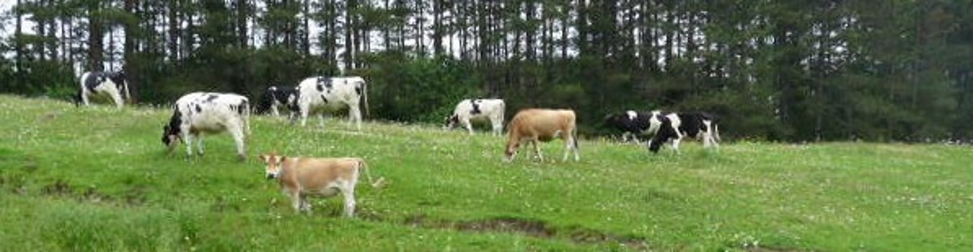
The Central Plateau is the largest agricultural area of Vermont. It specializes in dairy farming, especially in the north. Maple products, wood, timber, potatoes, and poultry are secondary.
Cabot is beautiful. The picturesque "upper village" lies in a valley that straddles the Winooski, Vermont's longest river. Cabot is just south of Vermont's "Northeast Kingdom." It is six miles square, bordered north by Walden and Vermont Route 15, east by Joe's Pond, West Danville, Peacham, and U.S. Route 2, south by Marshfield, and west by Woodbury.
Hills, east and west of the village, run north and south. Other hills, in East Cabot, have scenic vistas toward Danville and Peacham. map & photos
Snowmobile and hiking trails Cabot Trails Plan have stunning views, especially during fall foliage season. From Cabot Plains, on a clear day, you see west to Camel's Hump, Mt. Mansfield, the Worcester Range, and Woodbury granite quarries; north to Jay Peak and Canada; and east to the White Mountains of New Hampshire. winter views